About Us


ABOUT TERRAMATICA
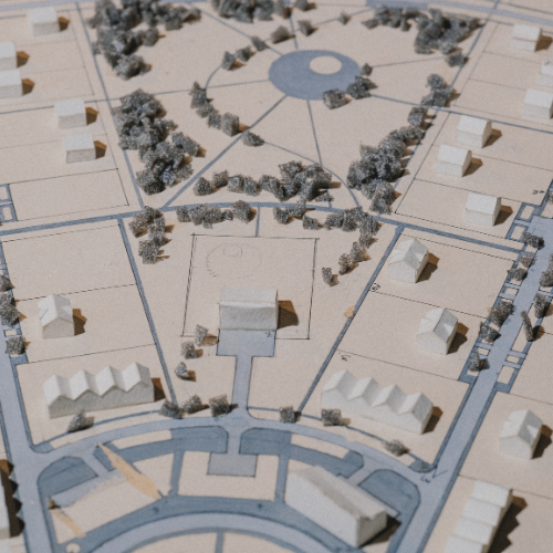
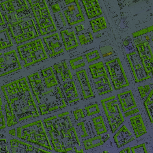
We Provide Precise Land Surveying & Advanced Geospatial Solutions
Terramatica is a cutting-edge surveying and mapping company based in Dubai, UAE.
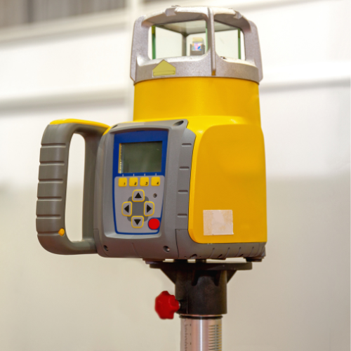
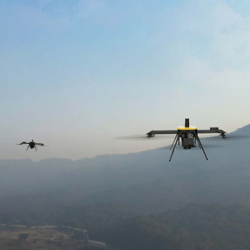
We offer a comprehensive suite of geospatial services — including land surveying, boundary demarcation, drone mapping, GNSS (GPS) surveys, and GIS solutions — designed to support infrastructure, construction, real estate, environmental, and industrial projects.
Our Vision
To be the leading provider of innovative, reliable, and sustainable geospatial solutions in the Middle East and beyond-
Our Mission
To empower industries and communities through precise geospatial data, innovative mapping technologies, and a commitment to excellence and integrity in every project.
Who We Are
We Are Experts in Geospatial Solutions & Land Surveying Based in Dubai
- Precision & Accuracy: We adhere to the highest industry standards in data and processing.
- Innovation: We invest in the latest tools and technologies to deliver cutting-edge solutions.
- Integrity: We operate with honesty, transparency, and respect in every client engagement.
- Sustainability: Our solutions are designed to support long-term planning and environmental responsibility.
- Client Focus: We tailor our services to meet the specific needs and goals of each client-
Our Services
What Service We Provide
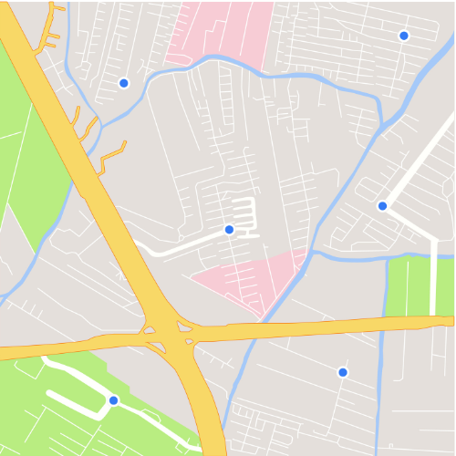
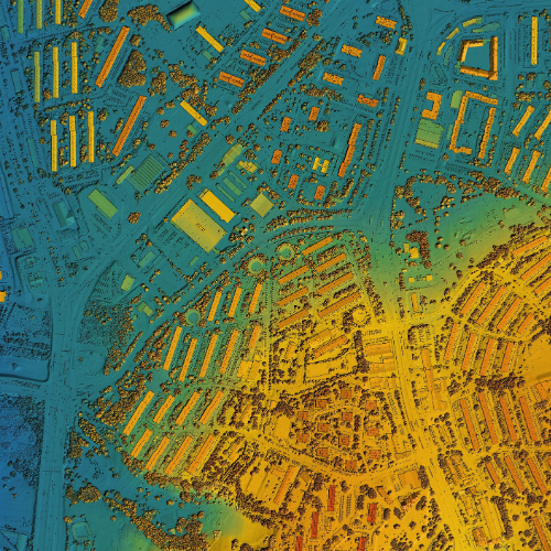
From topographic surveys to digital GIS platforms, we deliver accurate, timely, and high-impact geospatial data for smarter decision-making.


Our Process
Four Steps to Get Our Services
We follow a streamlined and professional workflow to ensure accuracy, efficiency, and client satisfaction from the first contact to final delivery.
Schedule a Consultation
Site Assessment & Planning
Start Land Survey
Survey Completed
Do You Want a Custom Project With Us? Contact Us Now
Terramatica provides tailored geospatial and surveying solutions designed to match the unique demands of your project — whether it’s for construction, infrastructure, environment, or land development.
FAQ
General Question
Below are some of the most common questions our clients ask about our geospatial and surveying services:
We offer land boundary surveys, topographic mapping, GNSS (GPS) surveys, drone mapping, as-built documentation, and GIS data management — all tailored to support construction, infrastructure, real estate, and environmental projects.
Using advanced RTK GNSS systems, total stations, and UAVs with LiDAR or photogrammetry, we achieve centimeter-level accuracy suitable for engineering and legal applications.
Yes. We provide end-to-end customized services, including GIS integration, 3D terrain modeling, underground utility mapping (GPR), and environmental/hydrological studies based on project-specific needs.