We empower industries and communities through precise geospatial data and a commitment to excellence and integrity.
Rashid Bin Al Daham Al Shamri – Managing Director, Terramatica
ABOUT TERRAMATICA
We Provide Precise Land Surveying & Advanced Geospatial Solutions
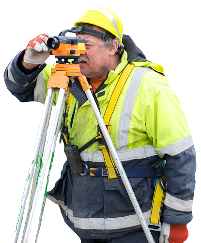
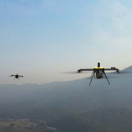
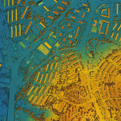
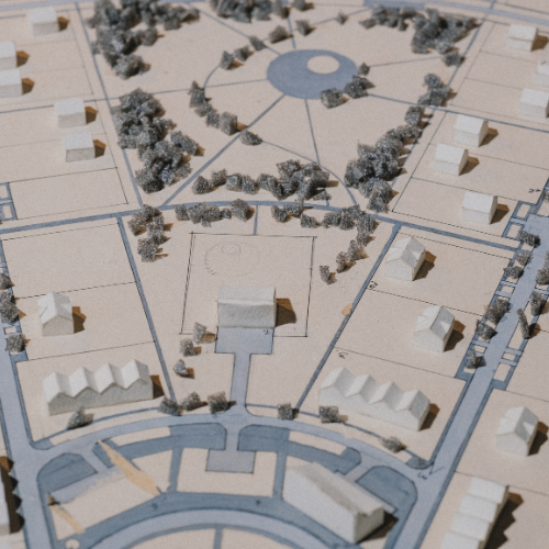
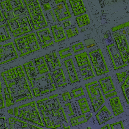
Terramatica is a cutting-edge surveying and mapping company based in Dubai, UAE. We offer a comprehensive suite of geospatial services — including land surveying, boundary demarcation, drone mapping, GNSS (GPS) surveys, and GIS solutions — designed to support infrastructure, construction, real estate, environmental, and industrial projects.
Best Quality Service
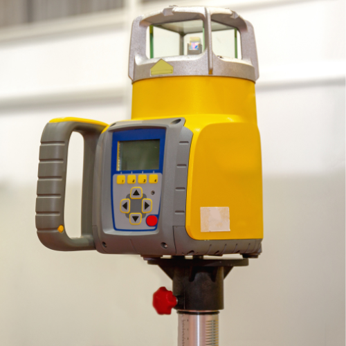
We combine traditional surveying expertise with advanced technologies like UAVs, laser scanning, and geospatial analytics to deliver timely and high-impact results.
Client-Centered Approach
Our services are customized to meet the unique needs and goals of each client, ensuring satisfaction and long-term value.
Who We Are
We Are Experts in Geospatial Solutions & Land Surveying Based in Dubai
Terramatica is a cutting-edge surveying and mapping company based in Dubai, UAE. We offer a comprehensive suite of geospatial services — including land surveying, boundary demarcation, drone mapping, GNSS (GPS) surveys, and GIS solutions — to support infrastructure, construction, real estate, environmental, and industrial projects.
By combining traditional surveying expertise with advanced technologies like UAVs, laser scanning, and geospatial analytics, we deliver timely, compliant, and high-impact data to empower informed decision-making
With local expertise in the UAE and global standards in delivery, Terramatica stands as your reliable partner for all surveying and spatial data needs.
The Perfect Solution For Land Survey Service
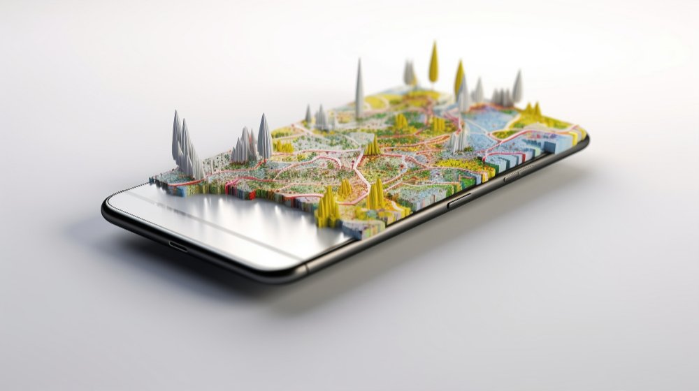
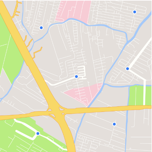
Terramatica delivers precise, timely, and high-impact geospatial data using cutting-edge technologies including GNSS, UAV mapping, laser scanning, and GIS systems. Our integrated surveying solutions are trusted by industries across real estate, construction, energy, and environmental sectors.